
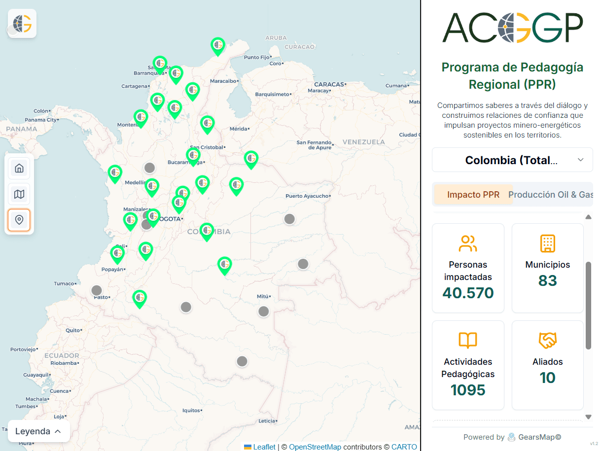
In production
ACGGP · Geoviewer · Mining and energy sector
PPR ACGGP Viewer
A geoviewer for exploring regional information with layers, filters, and territorial context.
- Geoviewer
- Indicators
- Territory
At GearsMap we understand how your team works and build tools that are clear, fast and easy to use.
Projects
Solutions built to turn complex data into clearer operations.
ACGGP · Geoviewer · Mining and energy sector
A geoviewer for exploring regional information with layers, filters, and territorial context.
Climate information system · MinMinas · KfW support
We supported the operational implementation of the MRV and monitoring-and-evaluation modules of the mining and energy sector's climate information system.
Operational implementation to organize and visualize indicators and emissions for the mining and energy sector, with MinMinas and KfW support.
Operational implementation to read climate hazard, vulnerability, and risk, with MinMinas and KfW support.
Lines we are developing. They are not production products yet.
Satellite crop monitoring to detect patterns and support field decisions.
A real-time operations concept for optimizing logistics routes and resources.
Tell us where the difficult data is. We design a way to make it useful.
Capabilities
Custom platforms, dashboards, 2D and 3D visualization, web GIS viewers, artificial intelligence and automation, built with current technologies and a focus on user experience and performance.
We create interactive map viewers using technologies like Mapbox, Leaflet, and OpenLayers. We integrate complex data layers, drawing tools, in-browser spatial analysis, and advanced filtering so you can explore your geographic information without limits.
See the web GIS viewer serviceOur AI solutions include predictive analytics, natural language processing (NLP), and computer vision. We help automate data classification, detect anomalies in real-time, and generate actionable insights for your organization.
We design executive and operational dashboards that centralize your most important KPIs. With real-time updates, dynamic filters, and report exporting, you see your performance metrics on a single screen.
We transform abstract data into immersive visual experiences. From interactive charts to 3D models of cities and terrain, our tools enable a deep understanding of patterns and trends that would be invisible in traditional tables.
We identify bottlenecks and error-prone manual tasks to replace them with automated workflows. From data ingestion to notification generation, we optimize your operations so your team can focus on high-value tasks.
We offer proactive technical support, security updates and performance monitoring, and we adapt your platforms to technological change so they stay available, secure and efficient.
Process
A clear cycle from a difficult question to a tool your team can use.
We frame the question, sources, and decisions that need better information.
We design the data model, experience, and flows that connect people.
We deliver a useful, measurable platform ready to evolve with the operation.
Modern tools for robust solutions
About
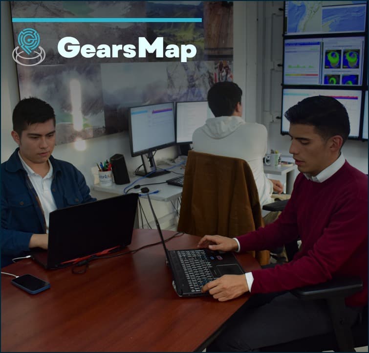
We understand how your team works and build software that is clear, fast and easy to use, with subject-matter experts and concrete ways to present information.
Founded in 2025, GearsMap brings together experienced professionals from the technology sector, committed to contributing to the Fourth Industrial Revolution. We look for new ways to use and visualize data to add value to each organization's processes.
We design and develop custom software: web platforms, dashboards, web GIS viewers, artificial intelligence and automation. We care about user experience, choose the visualization that best explains each piece of data, and optimize backend, frontend and database performance.
To support public agencies, companies and organizations in their digital transformation, so they get more out of every resource and process through their own information.
To take our solutions beyond Colombia, working with organizations and people who need to understand their territory to make better decisions.
Founding team
Four co-founders combining strategy, product, data science and business to carry territorial data all the way to decisions.

CEO · Co-founder
Strategy & vision
Sets GearsMap's strategy and vision: which territorial challenges we take on and how each project turns into better-informed decisions.
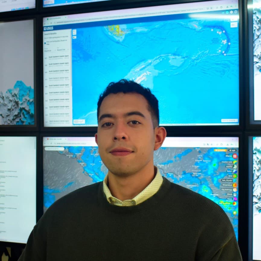
CPO · Co-founder
Product & innovation
Leads product and innovation, turning complex questions about territory into geoviewers, dashboards and workflows that teams can actually use.
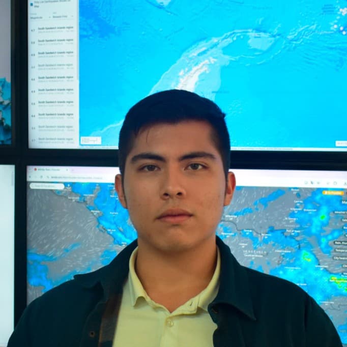
CDO · Co-founder
Data science & AI
Leads data science and artificial intelligence: models, geospatial analysis and automation that extract value from territorial data.

CCO · Co-founder
Business & growth
Drives business and growth, connecting GearsMap's capabilities with organizations that need to understand their territory better.
Want to talk to the team about your project?
Let's talkContact
Fill out the form or write to us directly to get in touch.
We reply with context, concrete questions, and a possible path forward.
* Required fields