Projects
Solutions built to turn complex data into clearer operations: a geoviewer in production, climate information systems, and lines we are still exploring.
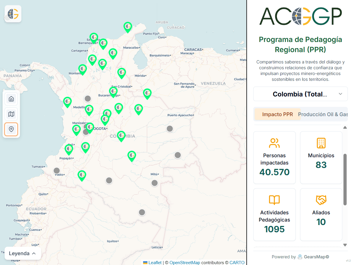
ACGGP · Geoviewer · Mining and energy sector
PPR ACGGP Viewer
A geoviewer for exploring regional information with layers, filters, and territorial context.
- Geoviewer
- Indicators
- Territory
Climate information system · MinMinas · KfW support
We supported the operational implementation of the MRV and monitoring-and-evaluation modules of the mining and energy sector's climate information system.
MRV · Monitoring, Reporting and Verification
Operational implementation to organize and visualize indicators and emissions for the mining and energy sector, with MinMinas and KfW support.
- Activity data × Emission factor × GWP
- Sectoral inventory (gas · fuel · category · department · year)
- PIGCCme 2050 indicators
- Dashboards · departmental viewer
- GHG inventory
- PIGCCme 2050
- Dashboards
M&E · Monitoring and Evaluation
Operational implementation to read climate hazard, vulnerability, and risk, with MinMinas and KfW support.
- Hazard × Vulnerability (sensitivity · adaptive capacity) = Risk
- Baseline 1990–2021 → SSP2-4.5 / SSP3-7.0 → absolute and % Δ
- Municipalities · basins · infrastructure
- Climate risk
- CMIP6
- Territorial viewer
In exploration
Lines we are developing. They are not production products yet.
- In development
Agricultural analysis
Satellite crop monitoring to detect patterns and support field decisions.
- Satellite
- AI
- In development
Fleet management
A real-time operations concept for optimizing logistics routes and resources.
- IoT
- Real time
Do you have complex territory to understand?
Tell us where the difficult data is. We design a way to make it useful.